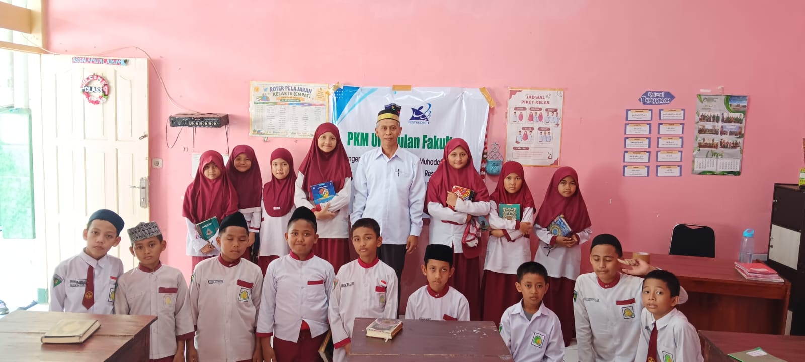
UMI Makassar Lecturers Apply TPR Method to Improve Muhadatsah Ability of MI Al-Fitrah Students
MAKASSAR– Indonesian Muslim University (UMI) through the Community Service Institute (LPkM UMI) introduced geodetic survey technology to class XI Construction and Housing Engineering (TKP) students at SMKN 5 Makassar. This activity, which will take place on 10–12 November 2026, aims to improve students' basic understanding and skills in using GPS and GNSS technology to support survey work in the construction sector.
This activity was carried out through the Community Service Program (PKM) PUF LPkM UMI scheme. This training is part of efforts to support vocational education, especially in enriching land surveying learning by introducing survey technology used in the world of work.
In its implementation, students first receive material regarding the working principles of GPS and GNSS in determining position based on reception of satellite signals. The implementation team also explained the differences in the functions of Garmin handheld GPS and geodetic GPS. Garmin GPS is generally used for navigation and general location recording, while geodetic GPS is designed for measurement needs with a higher level of accuracy.
This material provides students with an overview of the importance of geodetic surveys in construction work, starting from detailed land measurements, location mapping, to determining building plan points to match actual conditions in the field.
Not only through conveying theory, participants also follow the basic practices of using Garmin GPS. With the assistance of the PKM team, students are trained to read coordinates, save positions as observation points (waypoints), as well as recording the identity of each measured point. The results of recording these coordinates can then be used as training material for placing location points on sketches or simple maps.
The implementing team consisting of Andi Fahdli Heriansyah, Harwan, and Muhammad Fachry Hafid also provided an explanation of the concept of position correction in geodetic measurements. In this session, students are introduced to the importance of adjusting the level of measurement accuracy based on job requirements.
For example, recording the location of a school fence can be done using a device with general accuracy, while determining building plan points requires more precise measurements. It is hoped that this understanding will help students recognize the function and selection of survey equipment according to construction work needs.
Through a combination of theoretical and practical material, students gain initial experience in understanding the relationship between coordinates, field conditions and construction plan drawings. These basic competencies are important provisions for students to develop technical skills according to the field of Construction and Housing Engineering expertise.
In the future, it is hoped that this training material can be developed through construction survey simulations with TKP teachers. Further activities can include determining observation points, recording coordinates, presenting measurement results in sketch form, and selecting survey equipment based on work needs.
Through this service program, UMI through LPkM UMI continues to strengthen the contribution of universities in supporting vocational education through the transfer of science and technology. It is hoped that the introduction of GPS and GNSS can broaden horizons and increase students' readiness to face developments in survey technology and competency needs in the world of construction.