SIPATAB Encourages More Directed Arrangement of Hamlet Boundary Information in Ko'mara Village
Through mapping, joint verification and physical markers, the community is involved in identifying their hamlet area.
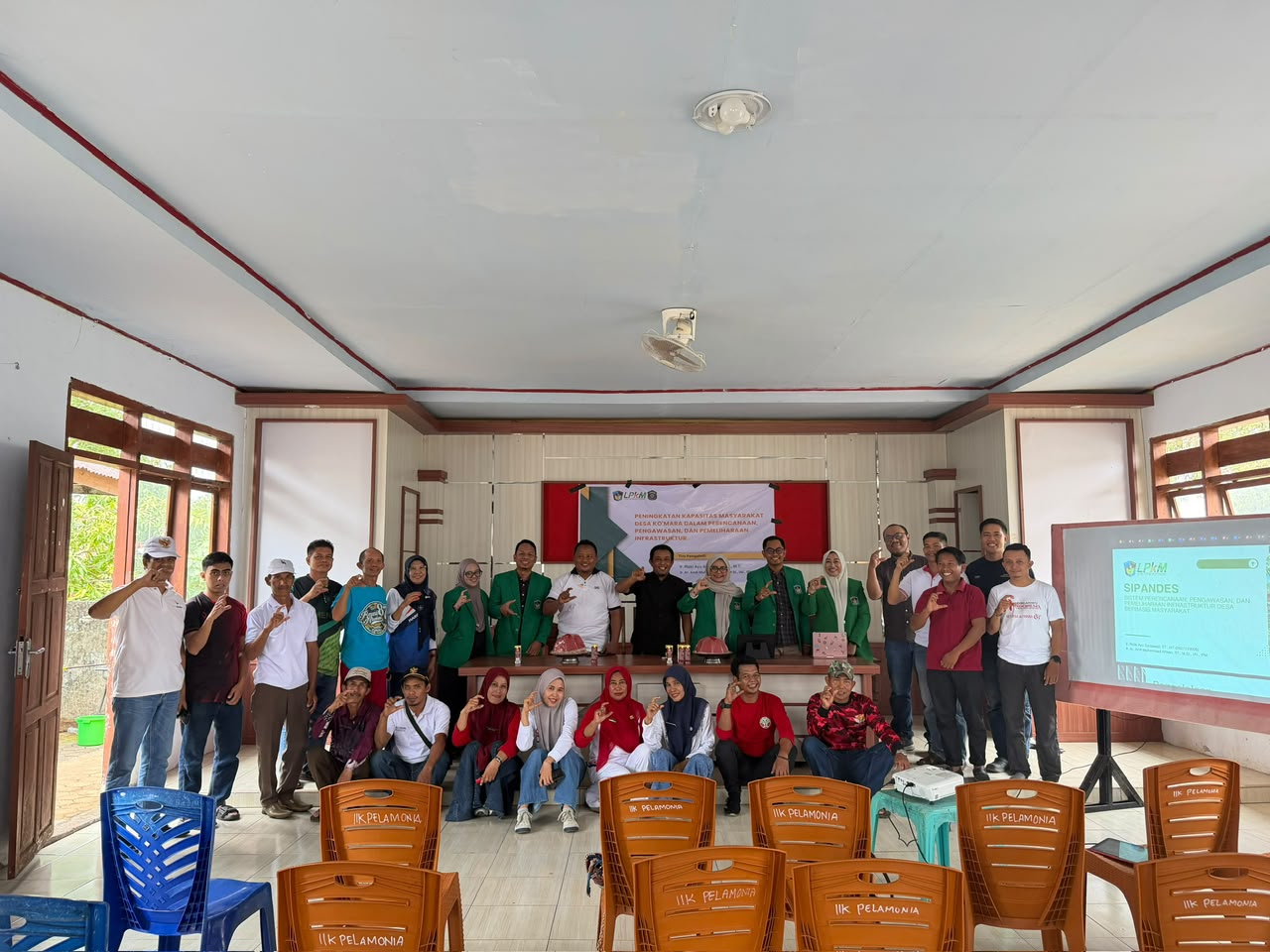
TAKALAR– Clarity of information regarding hamlet boundaries is an important element in supporting orderly administration and making it easier for people to recognize the area where they live. Responding to this need, the Indonesian Muslim University (UMI) team introduced SIPATAB (Community Participation Based Hamlet Boundary Information and Marking System) in Ko'mara Village, East Polongbangkeng District, Takalar Regency.
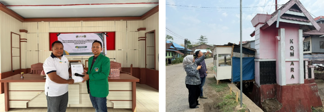
SIPATAB was developed through an approach that integrates spatial information with boundary markers in the field. Its implementation does not only focus on providing signboards, but begins with compiling regional information, collecting data on location points, as well as inspection and mutual agreement. Involvement of the village government and community is an important part of ensuring that the information prepared is appropriate to conditions in the field.
In its implementation, the hamlet spatial information map is used to illustrate regional divisions as well as show the plan for marker points. The team then collected location data through an identification form containing coordinates and photo documentation. This information is then reviewed using a verification matrix and location agreement before being used as a reference in placing boundary markers.
The results of data collection and verification are the basis for preparing standard designs for hamlet boundary markers. Physical markers are planned or placed at strategic points according to the results of mutual agreement. To expand access to information, SIPATAB is also equipped with village spatial information boards and guidebooks that explain the use of each system component.
The SIPATAB package consists of seven interrelated components, namely a hamlet spatial information map, a boundary marker location identification form, a location verification and agreement matrix, a standard design for hamlet boundary markers, physical hamlet boundary markers, a village spatial information board, and a SIPATAB guidebook. All of these components are designed so that the process of providing information takes place systematically, starting from data collection to conveying information to the public.
The existence of this system is expected to help residents and newcomers recognize the division of hamlet areas, provide more organized documentation of marker locations, and encourage community participation in managing regional information. The available spatial data also has the potential to become supporting material for village governments in administrative matters and development planning.
This community service activity is chaired byProf. Dr. Ir. Hj. St. Maryam, H., M.T., with team membersIr. Muhammad Zaki, S.T., M.Sc.Implementation of activities involves the Ko'mara Village Government under the leadership of the Village HeadRuslam Adiputra, S.T., as well as the East Polongbangkeng District Government led by the District HeadMuhammad Arif Tutu, S.E., M.AP.
Village and District Government Support
The Head of Ko'mara Village, Ruslam Adiputra, S.T., welcomed the implementation of SIPATAB as an effort that is expected to make it easier for the community to obtain information regarding the boundaries and division of hamlet areas. Involving residents in data collection and determining marker locations is also considered important to build mutual understanding and agreement regarding the village area.
Meanwhile, the Head of East Polongbangkeng Subdistrict, Muhammad Arif Tutu, S.E., M.AP., said that structuring spatial information through SIPATAB can support regional administration management at the village level. According to him, cooperation between the village government and the community is needed so that the information and markers that have been prepared can be maintained, updated and used sustainably.
So that the benefits of SIPATAB can last in the long term, post-activity management also needs attention. Maintaining physical markers, updating data if there are changes in area or field conditions, as well as determining the party responsible for information are things that need to be maintained by the village government together with the community.
Encourage Sustainable Management of Regional Information
The implementation of SIPATAB in Ko'mara Village shows that structuring information on hamlet boundaries requires integration between spatial data, field conditions and citizen participation. With sustainable management, it is hoped that this system can become a means of regional information that is easily recognized, documented and useful for village government administration.
The team expressed its appreciation and thanks to the Indonesian Muslim University (UMI) for funding support for this activity. Appreciation was also expressed to the UMI Community Service Institute (LPKM) for its facilitation and support in carrying out activities so that the service program and implementation of SIPATAB in Ko'mara Village could be carried out.
Through this activity, UMI continues to strengthen its commitment to presenting community service innovations that are participatory, applicable and oriented towards the needs of village communities.