UMI Lecturer Community Service Team provides GPS Navigation and Mapping Training for Makassar Applied Techno Aviation Vocational School Cadets
The PkM team of lecturers at the Indonesian Muslim University of Makassar, led by Mr. Ir. Muhammad Idris Juradi, S.T., M.T., IPP again carried out Community Service (PkM) activities which were held on 5-11 September 2024 at the Makassar Applied Techno Aviation Vocational School in the Department of Mining Geology. With the theme "GPS Navigation and Mapping Training for Cadets of the Makassar Applied Techno Aviation Vocational School" this activity was carried out in collaboration with the Community Service Institute (LPkM UMI) with the Makassar Applied Techno Aviation Vocational School.
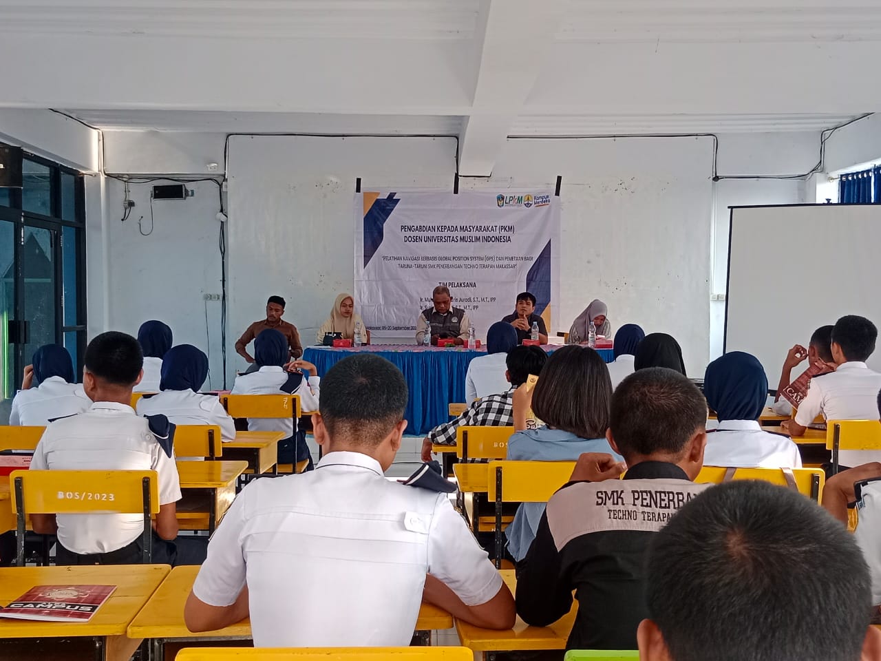
According to Mr. Dr. Muhammad Adam, S.T., M.T as the representative of the school principal said that this kind of activity was very necessary, especially for cadets majoring in Mining Geology, Makassar Applied Techno Aviation Vocational School, because it was the basic capital for them in improving their competence and soft skills, especially in the use of GPS technology. These skills will be needed by them in the world of work. "We would like to thank the Lecturer Team from LPkM UMI for their cooperation by sending lecturers who are experts in their fields to share knowledge with our Cadets. We hope that this activity can continue to be carried out in the future," he explained.

According to Mr. Ir. Muhammad Idris Juradi, S.T., M.T., IPP as head of the PkM team, the activities carried out have become routine activities carried out every year, Applied Techno Vocational School has become a permanent partner for the UMI LPkM PkM Team. There are several problems faced by the school, including that there are still cadets who do not know how to use GPS Navigation Technology, there are still limited teaching staff who can provide teaching related to the use of GPS Navigation Technology, the use of Arcgis software is not included in the subject unit for mining geology cadets.

In fact, when they practice work in the field or later work in the mining sector, they will automatically use these tools to support their activities, there is still a lack of facilities or media to support map making, there are no facilities or infrastructure in schools that can support the teaching and learning process related to these training activities, there is no online-based Information System to be able to study GIS with ArcGIS software.