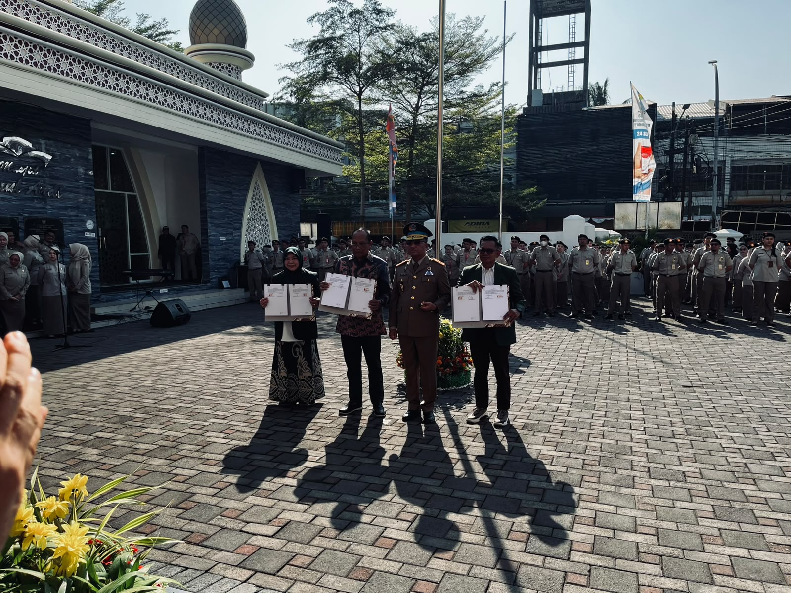
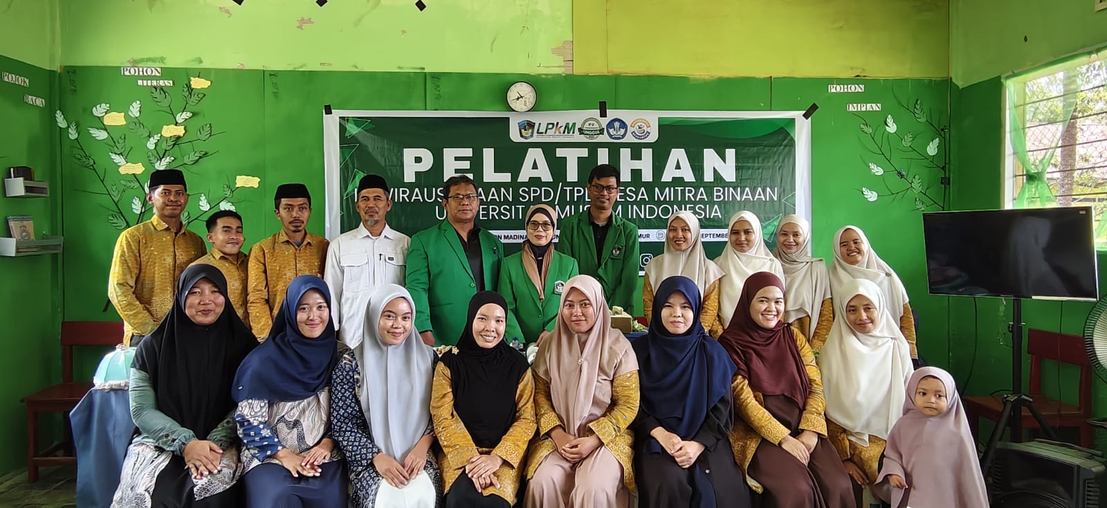
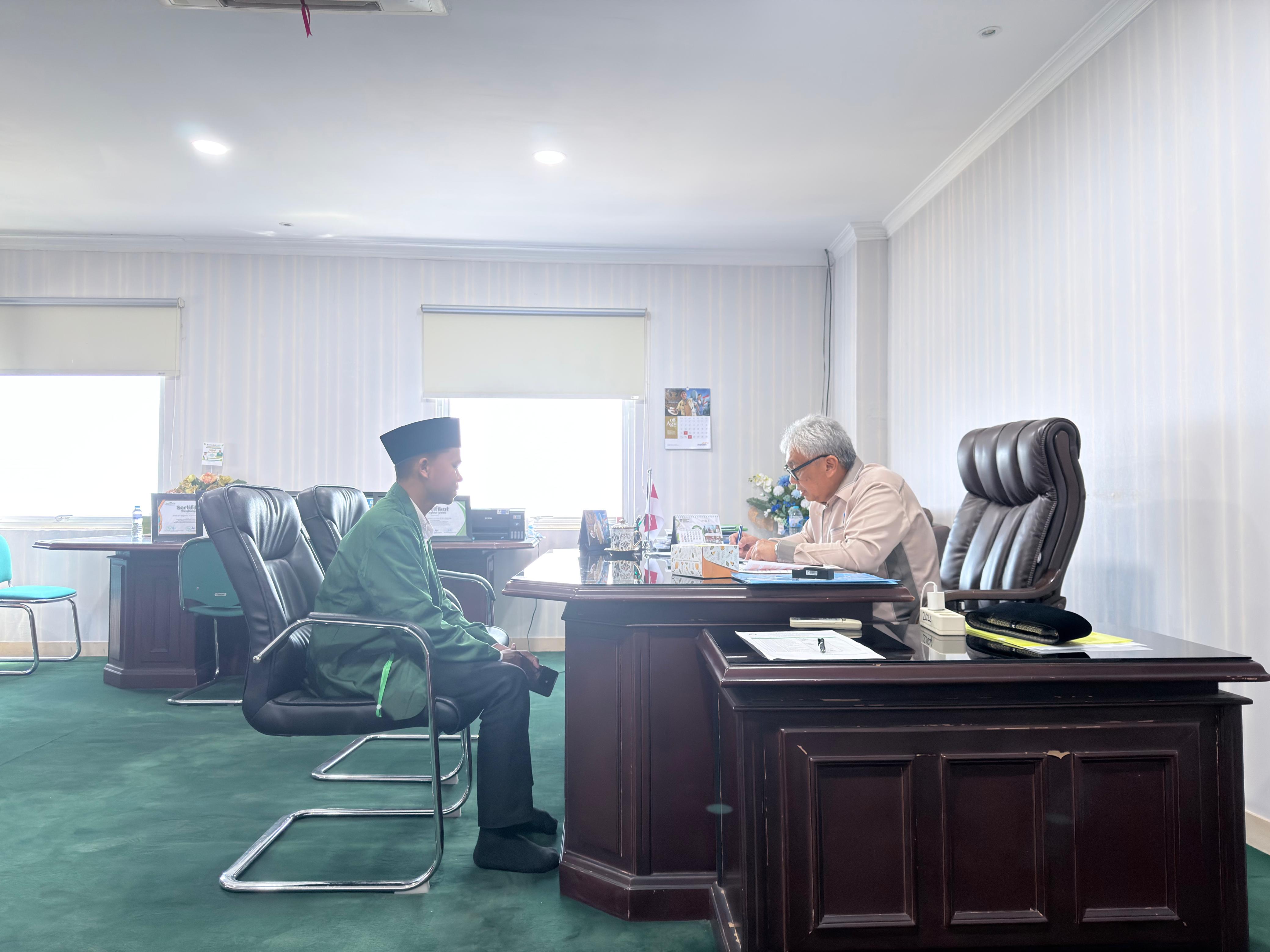
Lecturers at the Faculty of Industrial Technology, Indonesian Muslim University provide training on the use of Remote Sensing Technology to students at SMKN 5 Makassar
Lecturers from the Faculty of Industrial Technology, Indonesian Muslim University have just provided training on the use of remote sensing technology to students at SMKN 5 Makassar majoring in Geomatics and Geospatial.
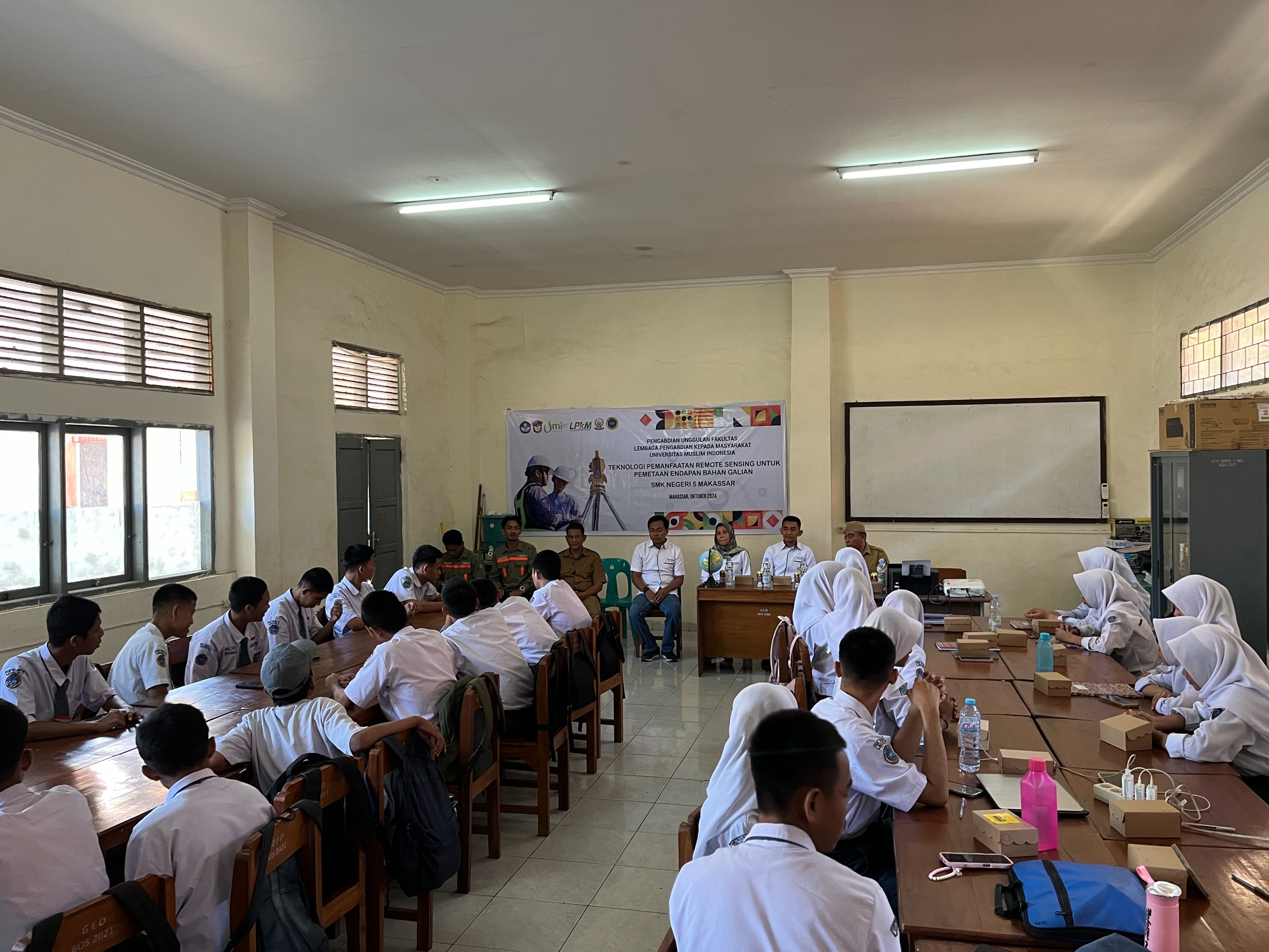
Remote sensing is the science and technique of obtaining information about objects, areas or phenomena on the Earth's surface without having to be directly involved. They use sensors on planes, satellites, or drones to capture imagery or other data, such as optical cameras, thermal sensors, and radar.
The students and teachers were very enthusiastic about taking part in this training, which was designed to introduce modern technology in mapping, including the use of drones, satellites and GPS. Through this training, it is hoped that students can develop an understanding of remote sensing and apply it in mapping minerals. Several lecturers from the Mining Engineering and Industrial Engineering Study Programs, as well as students, were involved in this activity.
Schools and universities also welcome this collaboration, which is expected to improve the quality of vocational education in Makassar.