UMI is again carrying out community service activities in the field of education at the Applied Techno Aviation Vocational School
Indonesian Muslim University (UMI) lecturers through the Community Service Institute (LPkM) implemented the Community Partnership Program (PKM) in the form of training on Geographic Information Systems (GIS) at the Applied Techno Aviation Vocational School, Makassar. This activity carries the theme "Using Android Applications and Quantum GIS for Making Maps" and is aimed specifically at students majoring in Mining Geology at the school.
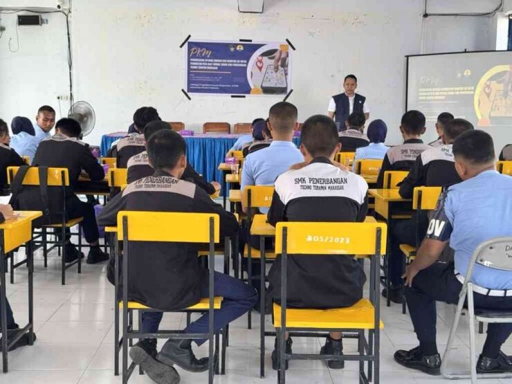
This training aims to provide knowledge and skills in the use of GIS, which is now an important tool in various fields such as education, environmental management and regional planning. By utilizing Quantum GIS (QGIS) software and Android-based applications, participants were trained on how to interpret and digitize geographic data.
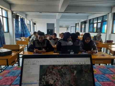
This activity has been taking place since September 2024 under the coordination of Chief Executive Ir. Alam Budiman Thamsi, ST., MT., IPP, together with Ir. Muhamad Hardin Propertia, ST., MT., and three students from the Mining Engineering Study Program, Faculty of Industrial Technology, UMI.
In an interview, the Chief Executive said that this program was a form of UMI's service to the community, especially the world of education in Makassar. He emphasized that this training was designed to provide practical provisions to students before they enter the world of work. Ir. Muhamad Hardin Vicea added that the big advantage of this training is the use of open source software such as Quantum GIS and Avenza Maps, which have features equivalent to paid software.
This activity involves several stages, starting from analyzing school conditions, delivering material in class, to direct practice using GIS software. It is hoped that this training can increase students' understanding of GIS technology while providing real benefits in supporting the teaching and learning process at the Applied Techno Aviation Vocational School.
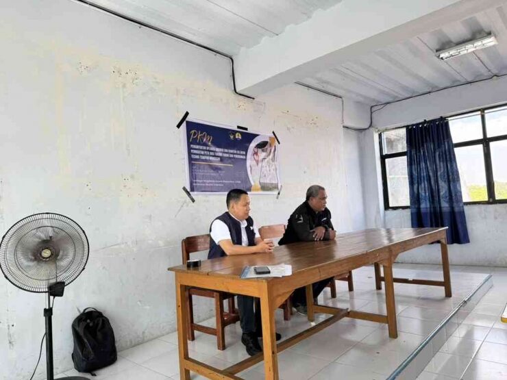
This program is a real example of collaboration between higher and secondary education which has the potential to strengthen the quality of education in schools. Through initiatives like this, UMI shows its commitment to utilizing science and technology as a means of advancing society and education, while equipping the younger generation with relevant skills for the future.